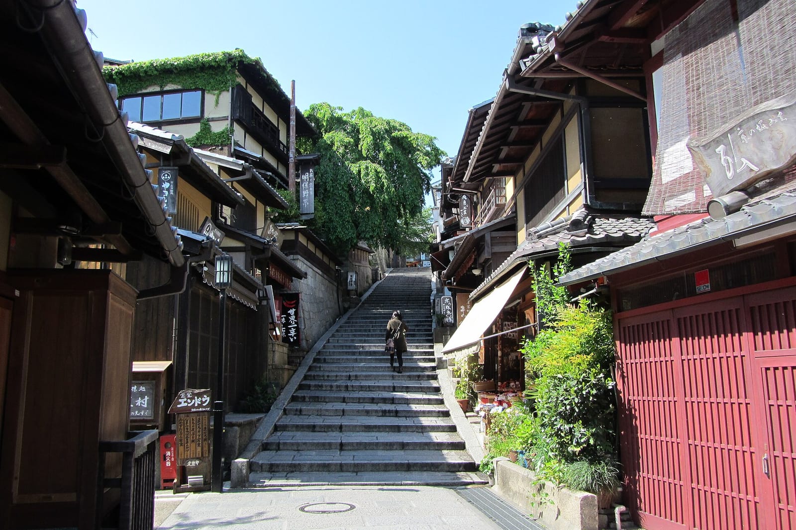
The stone steps and houses of Sannenzaka
Photo: Aporon999 / CC BY-SA 3.0 · Original · Resized and croppedHistoric districts
Sannenzaka, Kyoto
京都市産寧坂 (きょうとしさんねいざか)
Sanneizaka grew up as a temple town along the old pilgrim paths to Kiyomizu-dera and the Gion shrine, with townhouses lining the stone steps and winding cobbled slopes of Sanneizaka and Ninenzaka. Walk it to see how the Yasaka Pagoda, Kodai-ji and the old streets come together in a classic Higashiyama view.
Key facts
- Designation
- Important Preservation Districts for Groups of Traditional Buildings
- Type
- Historic districts
- Location
- Kyoto, Kyoto
- Address
- 京都府京都市
Before you go
- Opening hours
- Check the official site
- Closed
- Check the official site
- Admission (adults)
- Check the official site
- Time needed
- Check the official site
- Getting there
- Get off a city bus at Higashiyama Yasui or Gojozaka and walk about 5 minutes. Parking is scarce and the area gets very crowded, so public transport is the easiest way to go.
- Best time to visit
- For three evenings during Obon, about 100 lanterns light the streets of Ichinenzaka and Ninenzaka in the Yusuzumi to Akari no Michi event (August 14 to 16 in 2026, 18:00 to 20:00).
- Good to know
- These lanes get extremely crowded, and Kyoto's official tourism site asks visitors not to stop to chat or block the way while taking photos for a long time. Do not smoke on the street or drop litter from snacks. Going early in the morning, when it is quieter, is also recommended.
Checked against official information on November 12, 2026. Fees and hours can change, so please also check the official site before you go.
Sources for visitor information
Key facts
- Designation
- Important Preservation Districts for Groups of Traditional Buildings
- Type
- Historic districts
- Location
- Kyoto, Kyoto
- Address
- 京都府京都市
About this place
Sannenzaka is a temple and shrine town spreading across the foot of the Higashiyama hills in Kyoto, now covering 8.2 hectares. It was chosen as an Important Preservation District for Groups of Traditional Buildings on 4 September 1976, on the same day as Gion Shinbashi. This area on the eastern edge of Kyoto was developed early, and its history goes back to before the Heian capital was built. The town started out as a cluster at the gates of temples and shrines such as Kiyomizu-dera, Hokan-ji and the Gion shrine.
From the middle of the Edo period, streets grew up along the roads that link these temples and shrines, and the district reached its present form after the urban expansion of the Meiji and Taisho eras. Kyoto City's material regards the teahouses and the shops selling traditional crafts along the road today as descending from the sightseeing tours of famous places in the early modern period. What is worth seeing, then, is less the age of any one storefront than the fact that the town arose for people walking from temple to shrine, and that this use has continued.
Along the walking route stand souvenir shops, teahouses and homes. It is not only the buildings that make up the streetscape. Stone steps and stone walls are part of the street, and the streets combine straight and curved lines. Differences in height are bridged by steps and gentle slopes, so the view changes as you walk. The terrain produces a variety that a flat street cannot. The district takes its name from a slope, but the point is less the gradient itself than the fact that slopes and steps form the skeleton of the townscape.
In the history of preservation, the city's 1972 cityscape ordinance came first. Described as Japan's first comprehensive urban landscape conservation measure, it designated the Sannenzaka area (5.3 hectares, about 240 houses) as a special conservation and restoration district. In 1975 the Law for the Protection of Cultural Properties was revised to create the preservation district system, and in 1976 the area became a national district. Kyoto had been taking its own steps to protect it before the national system existed. The district was later enlarged to 8.2 hectares (about 280 houses), including Ishibei-koji. Kyoto City material dates the enlargement to 1995 and the National Council of Traditional Building Preservation Districts to 1996; the Council explains that it brought in a good modern residential area.
As for combining it with its surroundings, the National Council describes the townscape as spreading along a walking route that links Kiyomizu-dera, Kodai-ji and Yasaka Shrine. If you treat the district not as a stand-alone sight but as part of the road that connects temples and shrines, it fits its origin as an approach town. Gion Shinbashi was selected on the same day, so within one continuous walk you can compare two different characters, a temple-and-shrine town and a teahouse district.
About the district
- Type of district
- temple and shrine town
- Area
- 8.2 hectares
- Selected
- September 4, 1976
Sources and date checked
Facts such as eras, structures and locations are edited and translated by us from the Agency for Cultural Affairs’ database of nationally designated cultural properties. The Agency and the national government did not produce this page.
Database of nationally designated cultural properties- Agency for Cultural Affairs, Database of National Cultural Properties
- Kyoto City: Sannenzaka, Gion Shinbashi, Saga-Toriimoto and Kamigamo (Agency for Cultural Affairs, Preservation and Utilization of Important Preservation Districts for Groups of Traditional Buildings, document by Kyoto City)
- National Council for Preservation of Historic Districts: Kyoto City Sannenzaka
Checked on November 6, 2026
Report an error
If you notice a mistake, please tell us along with a source for the correct information.
Where to go next
Places you could see on the same day, and places worth comparing.
Nearby cultural heritage
Places within 10 km, nearest first. Distances are in a straight line.
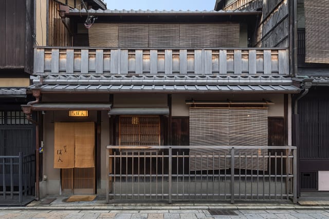
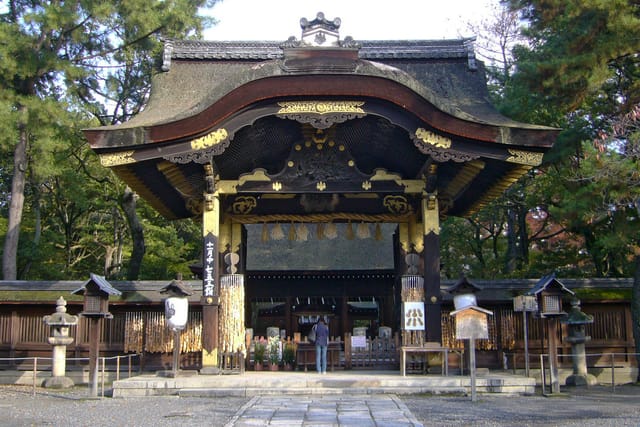
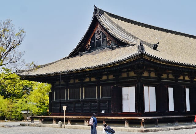
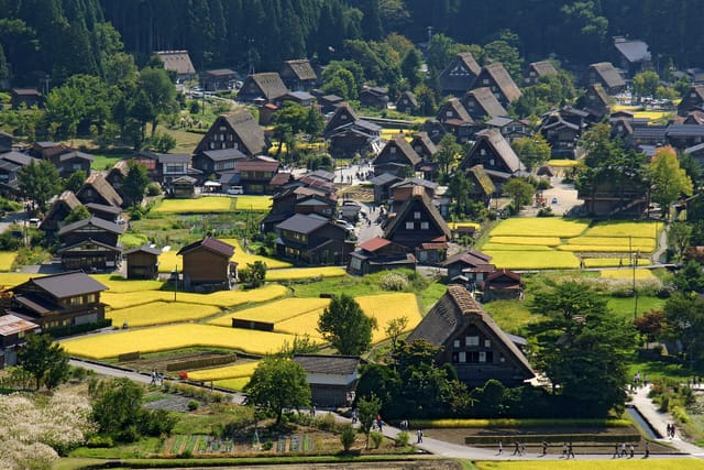
More from Kyoto
Discover more of the same region on our sister sites.
Matsuri Biyori
UNESCO-listed festivals in Kyoto
- Yamahoko, the float ceremony of the Kyoto Gion festival
- Kyoto no Rokusai Nenbutsu
- Yasuraibana
- Kuta no Hanagasa Odori
Meiga no Furusato
Paintings linked to Kyoto
- View of Amanohashidate
- Viewing Maple Leaves
- Scenes in and around Kyoto (Funaki Version)
- Morning View of Uji River